
A warming patch of tropical Pacific Ocean can shift rain thousands of kilometres away, alter fisheries and influence the average temperature of the planet for a season or two. The pattern is called El Niño and La Niña, two opposite phases of a coupled ocean-atmosphere cycle known as the El Niño–Southern Oscillation, or ENSO.
ENSO is natural and irregular. It does not arrive on a perfect timetable, affect every place in the same way or explain the long-term rise in global temperature. Its power comes from the enormous area of warm tropical water and the way that water interacts with winds, clouds and pressure across the Pacific.
Quick answer: During El Niño, unusually warm surface water spreads eastward across the central and eastern tropical Pacific as trade winds weaken. During La Niña, stronger trade winds help unusually cool surface water dominate that region. El Niño and La Niña reorganize tropical rainfall and atmospheric circulation, changing the odds of drought, floods, heat and storms in many regions.
ENSO at a glance
| Feature | El Niño | Neutral | La Niña |
|---|---|---|---|
| Central/eastern tropical Pacific surface | Warmer than the selected seasonal average | Near the expected range | Cooler than the selected seasonal average |
| Equatorial trade winds | Often weaker | Near normal pattern | Often stronger |
| Warm water and deep convection | Shift eastward | Concentrated farther west | Concentrated more strongly in the west |
| Upwelling near western South America | Usually reduced | Typical | Usually enhanced |
| Global surface temperature influence | Often temporarily warmer | No strong ENSO push | Often temporarily cooler |
Start with the neutral tropical Pacific
Near the equator, steady easterly trade winds normally push warm surface water toward Indonesia and the western Pacific. The sea surface there is higher and warmer than in the east. Near Ecuador and Peru, deeper cool water rises toward the surface in a process called upwelling.
The warm western water fuels rising humid air, clouds and heavy tropical rain. Higher in the atmosphere, air moves eastward, sinks over the cooler eastern Pacific and returns westward near the surface. This large loop is called the Walker circulation.
Ocean and atmosphere reinforce each other. Winds pile up warm water; the water-temperature contrast helps maintain pressure differences and winds. A disturbance in one part can grow through the coupled system, which is why ENSO cannot be understood by looking at ocean temperature alone.
What changes during El Niño?
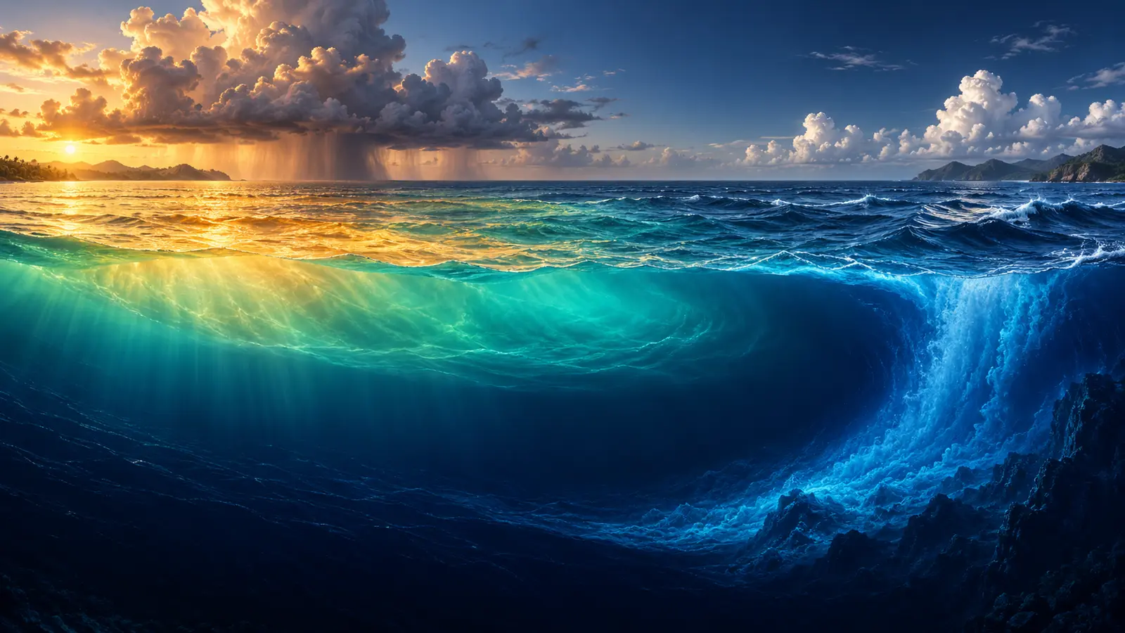
During El Niño, the trade winds weaken and sometimes reverse in western areas. Warm water that was concentrated in the west spreads eastward. The layer separating warm surface water from colder deep water—the thermocline—flattens and deepens in the eastern Pacific. Upwelling may continue, but the water reaching the surface is warmer than usual.
Tropical thunderstorms follow the warm water eastward. That relocation changes where enormous amounts of heat are released into the atmosphere. Jet streams and planetary waves respond, creating “teleconnections” that can influence weather far from the tropical Pacific.
NOAA Climate.gov describes El Niño and La Niña as the warm and cool phases of this natural tropical Pacific pattern. An event requires both oceanic and atmospheric signals; a warm patch by itself is not enough.
What changes during La Niña?
During La Niña, easterly trade winds are stronger than usual. They push more warm surface water westward, and colder water rises more effectively in the east. The east-west temperature contrast and Walker circulation strengthen.
Rainfall and convection become focused farther west, while the central and eastern tropical Pacific are relatively cool and dry. The distant atmospheric responses often lean opposite to El Niño, but they are not mirror images in every region. La Niña can also persist across more than one northern-hemisphere winter.
Together, El Niño and La Niña describe opposite tendencies within one system. Neutral conditions fill the intervals between them, yet neutral does not mean weather everywhere is average. Other ocean patterns and ordinary atmospheric variability continue.
What starts an event?
ENSO events grow from interactions between winds and the ocean rather than a single trigger. Bursts of westerly wind can push warm water eastward. Slow waves travel along and across the equatorial Pacific, changing thermocline depth. The altered sea surface then feeds back on pressure, cloud and wind.
A positive feedback can strengthen the developing event: weaker trade winds allow warmer eastern water, and the reduced temperature contrast can weaken the winds further. Eventually the ocean loses heat, reflected waves and seasonal changes help end the event, and the system may move toward neutral or the opposite phase.
The sequence varies. Scientists can describe the physics without predicting the precise start date far in advance. This irregularity is one reason forecasts express probabilities rather than certainty.
How scientists watch the Pacific below the surface
Sea-surface maps show only the top layer. An event may begin with a reservoir of warm water moving east below the surface before a clear temperature signal appears at the top. Moored buoys, drifting floats, research ships and satellites measure temperature, sea level, currents, winds and rainfall. Higher sea level along the equator can indicate a deeper layer of warm water.
Satellites provide broad coverage, but they do not replace instruments in the water. Clouds interfere with some sensors, and surface temperature cannot reveal the full depth of the thermocline. Ocean observations give forecasters the three-dimensional starting point needed for coupled models.
Those models simulate the ocean and atmosphere together many times with slightly different initial conditions. The spread of results helps estimate uncertainty. If most runs move toward a warm phase, confidence increases; if they divide sharply, the outlook should remain cautious.
The observing network also protects against dramatic conclusions based on one coastal reading. El Niño and La Niña are basin-scale patterns, so scientists look for consistent changes across regions and variables. Maintaining buoys and other ocean instruments is therefore part of disaster preparedness: better observations can improve months-ahead guidance for water managers, farmers, health agencies and emergency planners.
How agencies decide whether ENSO is present
Agencies monitor sea-surface temperature in defined tropical Pacific regions, particularly Niño 3.4, along with trade winds, cloudiness, pressure and subsurface heat. NOAA’s ENSO monitoring brings several indicators together.
Different operational centres use slightly different thresholds, seasons and terminology. NOAA commonly uses the Oceanic Niño Index, a three-month running sea-surface temperature departure in Niño 3.4, combined with an expectation that atmospheric coupling and thresholds will persist. Australia’s Bureau of Meteorology uses its own criteria.
These differences do not mean the science is broken. They reflect different forecast services and user needs. When reading a headline, check which agency issued the declaration and whether it is an official observed event, an alert or a forecast watch.
Why the “spring predictability barrier” matters
ENSO forecasts often become less reliable when they must cross the northern-hemisphere spring. At that time of year, the normal east-west sea-temperature contrast is weaker and small errors can grow. Models may disagree about whether a disturbance will fade or become self-reinforcing.
Forecast skill generally improves as an event develops and as the target season approaches. A 70% probability is not a promise; it means the outcome occurred in roughly seven of ten comparable forecast situations if the system is well calibrated.
The World Meteorological Organization publishes periodic ENSO updates that combine forecasts from global centres. For decisions involving crops, water or emergencies, use current national forecasts as well as the global outlook.
Weather effects are shifts in odds
People often ask what El Niño and La Niña will “do” to their country. The honest answer is probabilistic. ENSO tilts the chances of certain seasonal patterns; it does not dictate the weather on every day.
El Niño is often associated with wetter conditions in parts of the southern United States and western South America, and drier conditions in parts of Australia, Indonesia, southern Africa and South Asia. La Niña frequently shifts these tendencies. But the location and season matter, and no pattern is guaranteed.
The Indian Ocean Dipole, North Atlantic Oscillation, Madden–Julian Oscillation, monsoons, local sea temperatures and random weather can strengthen, weaken or reverse an expected influence. Climate services therefore use historical composites as guidance, not a copy of the future.
How ENSO affects tropical cyclones
Changing upper-level winds alter vertical wind shear—the change in wind speed or direction with height. El Niño often increases shear over the tropical Atlantic, which can suppress Atlantic hurricane formation, while favoring activity in parts of the central and eastern Pacific. La Niña often reduces Atlantic shear and can create a more favorable environment there.
ENSO affects the background environment, not the path or strength of one storm. Ocean heat, atmospheric moisture, local wind patterns and internal storm dynamics still matter. People in cyclone-prone places should follow official warnings in every season.
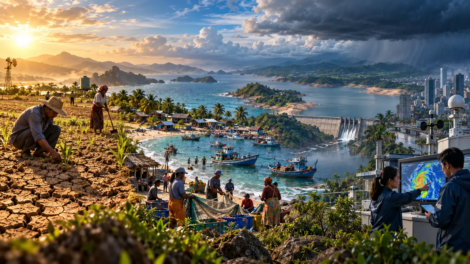
Fisheries and coastal livelihoods
Normal upwelling along western South America brings cold, nutrient-rich water toward sunlight near the surface, supporting plankton and productive fisheries. El Niño’s deeper eastern thermocline can reduce this nutrient supply. Fish may move, reproduction can change and catches may decline or shift location.
Heavy rain and marine heat can create additional ecological stress. The impacts spread through processing, transport, prices and household income. La Niña can restore stronger upwelling, but extremely cold or persistent conditions can create their own disruptions.
These effects explain the name’s historical connection to Peruvian coastal observations around Christmas. Modern ENSO monitoring describes a basin-wide coupled system rather than one local current.
Agriculture, water and food prices
Seasonal rain and temperature shape planting dates, crop yields, pasture, river flow and reservoir management. ENSO forecasts can help farmers and governments prepare, but the same phase can bring drought to one producing region and extra rain to another.
Impacts depend on irrigation, soil, crop choice, storage, insurance, trade and household income. A small production loss can be manageable in a diversified system and devastating where families already face conflict, debt or high food prices.
FAO’s climate services work emphasizes converting forecasts into local agricultural advice. The phrase El Niño and La Niña is not itself a farm decision; a grower needs a regional rainfall outlook, crop stage, soil conditions and practical options.
Health consequences
ENSO can change heat exposure, wildfire smoke, flood risk, drinking-water safety and the habitats of disease vectors. Drought may concentrate pollutants or reduce hygiene water; flooding can contaminate supplies and displace communities. Temperature and rainfall can affect mosquito populations, but disease outcomes also depend on public health, housing and immunity.
Health agencies should combine seasonal forecasts with surveillance and local vulnerability. A forecast can justify checking cooling centres, emergency stocks and water plans without claiming that an outbreak is inevitable.
ENSO and global warming
ENSO moves heat between the ocean and atmosphere. During El Niño, the tropical Pacific releases more heat toward the surface and the global average air temperature often rises temporarily. La Niña often has a temporary cooling influence. Neither phase creates the long-term greenhouse-gas trend.
The difference is visible as a staircase-like record: warm and cool years fluctuate around a baseline that has risen. A strong El Niño occurring on today’s warmer baseline can produce record global temperature without being the sole cause of it.
Climate change may alter aspects of ENSO and its impacts, but important uncertainties remain about event frequency and pattern. Warmer air can intensify rainfall when moisture is available, and higher sea level or background temperature can worsen some consequences even if the ENSO trigger is familiar.
Use SOAKJAM’s explanation of what causes global warming to separate the long-term human-driven energy imbalance from natural variability.
How families and communities can prepare
- Follow the national weather and water authority, not a viral global map alone.
- Check seasonal outlooks regularly because probabilities change as observations arrive.
- Review household plans for heat, smoke, flooding, water shortage and power interruption.
- Protect important documents and keep medicines safely available.
- For farms, connect the seasonal forecast to local extension advice and crop calendars.
- For businesses, identify suppliers, routes and utilities sensitive to drought or flooding.
- Support neighbors who may have limited mobility, cooling, transport or warning access.
Preparedness should match local hazards. Buying emergency supplies for an impact that is unlikely in the region can waste money, while simple maintenance—clearing drains, checking shade, protecting water and updating contacts—often helps under several scenarios.
How to read an ENSO news story
First identify the status: watch, advisory, observed event or forecast. Find the issuing agency and publication date. Check the probability and target months. A headline saying an event “is coming” may summarize a moderate chance six months away.
Next separate global background from local forecast. Ask what the historical tendency is in the specific place and season, how reliable that relationship has been, and what other patterns are active. Finally, look for a practical decision and the cost of acting or waiting.
Responsible communication about El Niño and La Niña replaces certainty with useful risk. “Odds of below-normal rain have increased” is less dramatic than “drought is guaranteed,” but it is more accurate and more useful for planning.
Common misunderstandings
“El Niño is a storm”
No. It is a large-scale ocean-atmosphere pattern lasting many months. It can influence conditions that affect storms but is not itself a cyclone.
“La Niña means cold weather everywhere”
No. The name refers to cooler-than-average water in a specific tropical Pacific region. Many land areas can still experience unusual heat during La Niña.
“ENSO happens exactly every seven years”
No. Events recur irregularly, often every two to seven years, and vary in strength, timing, location and duration.
“Every El Niño produces the same map”
No. Eastern-Pacific and central-Pacific events can differ, and the atmosphere contains many other sources of variability. Historical averages are tendencies.
Frequently asked questions
What does ENSO stand for?
El Niño–Southern Oscillation. “Southern Oscillation” describes the linked atmospheric pressure pattern across the tropical Pacific.
How long does an event last?
It commonly develops during part of the year, peaks around northern winter and fades the following year. Some events last longer, especially multi-year La Niña episodes.
Can El Niño be stopped?
No practical intervention can stop this basin-scale natural cycle. Forecasting, early warning and risk reduction are the useful responses.
Does ENSO affect Kuwait or Nepal?
Possible influences are indirect and vary by season. Regional monsoon and circulation patterns matter, so use current forecasts from the relevant national meteorological authority rather than assuming a fixed outcome.
Which phase is active now?
Status changes over time. Check the newest update from NOAA, WMO or the local weather agency rather than relying on a static article.
Final summary
El Niño and La Niña are opposite phases of a natural coupled cycle in the tropical Pacific. Changes in trade winds, warm-water location, thermocline depth and tropical rainfall reorganize atmospheric circulation and shift seasonal weather odds around the world.
The useful question is not whether El Niño and La Niña guarantee a particular disaster. It is how the current phase changes local risk, how confident the forecast is and what low-regret preparation makes sense. Read probabilities, follow regional authorities and remember that ENSO’s temporary fluctuations now occur on top of a warmer human-influenced climate.
Transparency
Sources & references
- NOAA Climate.gov — El Niño & La Niña (ENSO)
- NOAA NCEI — El Niño/Southern Oscillation Monitoring
- NOAA Climate Prediction Center — ENSO Diagnostic Discussion
- WMO — El Niño/La Niña Topic and Updates
- NASA Earth Observatory — El Niño
- ElNino Australian Bureau of Meteorology — Climate Driver Update
- UK Met Office — El Niño and La Niña
- FAO — El Niño
- World Health Organization — El Niño Southern Oscillation and Health
Editorially reviewed
Editorial information
SOAKJAM articles are designed for clarity, useful context and transparent sourcing. Important facts should be checked against the linked primary sources.
Found an error, outdated detail or a useful source we should consider?