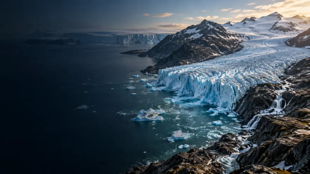

A few millimetres can sound trivial until they are added to every high tide and every storm surge, year after year. Understanding what causes sea level rise means looking beyond a bathtub image. The ocean expands as it warms, land ice adds water, and the land beneath each coast may itself be moving.
That is why global and local sea level are not identical. A worldwide average helps scientists track the climate system, while a harbour, island or neighbourhood must plan around the water level relative to its own shore.
Quick answer: The main answer to what causes sea level rise is the warming climate. Warmer seawater expands, and melting glaciers and ice sheets transfer water from land to ocean. Groundwater use, reservoirs, ocean circulation and vertical land motion add smaller or local effects.
Sea-level rise at a glance
| Driver | Effect on global mean sea level | Why local results differ |
|---|---|---|
| Thermal expansion | Warmer seawater occupies more volume | Heat is stored unevenly and currents redistribute water |
| Mountain glaciers | Melting land ice adds water | Gravity and circulation shape regional patterns |
| Ice sheets | Greenland and Antarctica add water through melt and ice discharge | Loss changes gravity, rotation and Earth’s crust |
| Land-water storage | Groundwater depletion can move land water to the ocean; reservoirs store some on land | Use and rainfall vary by region and time |
| Vertical land motion | Does not change global ocean volume | Sinking land raises relative sea level; rising land lowers it |
| Storms and tides | Cause temporary water-level extremes | A higher baseline lets extremes reach farther inland |
First, define “sea level”
The ocean surface is not flat. Gravity, currents, winds, temperature, salinity and the shape of ocean basins create hills and valleys across it. Tides move water on hourly and monthly cycles. Atmospheric pressure and storms add shorter fluctuations.
Global mean sea level averages across much of this variation to reveal a long-term planetary change. Relative sea level is the height of the sea compared with nearby land. It is the more immediate measure for a coastal road, well, port or home.
A place where land is sinking can experience rapid relative rise even if the global ocean changes more slowly. Where land is rebounding after the weight of ancient ice disappeared, relative sea level may rise slowly or fall. Both observations can be true at the same time.
Warming water expands
Most substances expand when heated, and seawater is no exception. Added energy increases molecular motion and, in the temperature ranges relevant to most of the ocean, increases volume. The mass of water can remain the same while its volume grows.
Thermal expansion depends on temperature, pressure and salinity, so it is not uniform. Heat entering the upper ocean can raise sea level more quickly than heat mixed to depth. Currents concentrate or remove warm water regionally.
This expansion is a major part of what causes sea level rise. It also links coastal change to ocean observations: even without adding one drop of meltwater, a warmer ocean can stand higher.
Melting land ice adds water
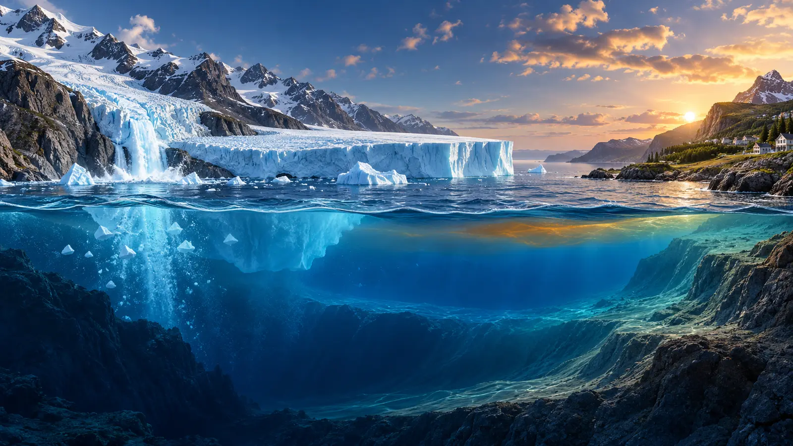
Mountain glaciers and the Greenland and Antarctic ice sheets formed from snow accumulated on land. When that ice melts or flows into the sea as icebergs, it transfers stored land water into the ocean.
Floating sea ice and ice shelves already displace nearly their own mass in seawater, so their direct melting changes sea level only slightly. Ice shelves still matter because they can hold back grounded ice. If an ice shelf thins or collapses, glaciers behind it may accelerate and add land ice faster.
SOAKJAM’s guide to why glaciers and ice sheets are melting explains surface melt, ocean undercutting and ice dynamics in more detail.
Water stored on land also changes
People pump groundwater for homes, farms and industry. Some returns underground, but some reaches rivers and eventually the sea. Large-scale groundwater depletion therefore contributes to global sea-level rise. Dams and reservoirs can move in the opposite direction by retaining water on land.
Wet years store more water temporarily in soils, lakes, snow and floodplains; dry years release it. These shifts help explain year-to-year variation. They are smaller than the main long-term warming and land-ice contributions but still matter in precise sea-level budgets.
Why sea level does not rise evenly
Several processes produce a regional “fingerprint.” A large ice sheet attracts ocean water through gravity. As it loses mass, that attraction weakens, so sea level near the ice sheet can rise less or even fall while faraway coasts experience more.
Loss of ice and water also changes Earth’s rotation and deforms the crust. Winds and currents pile water toward some coasts and away from others. Temperature and salinity alter density. Natural climate patterns such as El Niño can raise sea level in one region while lowering it elsewhere for months.
These patterns do not contradict what causes sea level rise globally. They explain why a global average must be translated into local relative projections before a seawall, drainage system or building code is designed.
The land may be moving too
Groundwater or oil extraction can compact sediments and make land sink. The weight of buildings and drainage of wetlands can contribute. River deltas naturally compact when new sediment no longer replaces what settles, often because dams trap that sediment upstream.
Tectonic movement can raise or lower a coast suddenly or gradually. In formerly glaciated regions, land continues rising after the ancient ice load disappeared, a process called glacial isostatic adjustment.
Subsidence is particularly dangerous because it raises relative sea level without waiting for additional ocean volume. Limiting groundwater withdrawal, restoring sediment flows or changing construction practices can reduce some local subsidence, while tectonic and post-glacial motion must be monitored and planned around.
How sea level is measured
Tide gauges have recorded water relative to land at ports for more than a century in some places. They capture tides, storms and local land movement along with the long-term signal. Nearby GPS stations help separate ocean change from vertical land motion.
Satellite altimeters measure the height of the sea surface across most of the global ocean. Repeated tracks reveal broad change and regional patterns. Gravity satellites estimate changing mass in ice sheets, glaciers and land-water storage. Profiling floats measure ocean temperature and salinity, supporting estimates of expansion.
NASA’s Sea Level Change portal brings several records together, while NOAA provides local relative sea-level trends from tide gauges. No one instrument answers the entire question.
Why the rate matters as much as the total
A city can adapt more easily to a slow, anticipated change than to rapid acceleration. Roads, wastewater plants, ports and buildings last for decades. A design based only on the historical average may be undersized before the end of its intended life.
Sea-level rise also compounds. A small increase can turn a rare high-tide threshold into a frequent event because the whole distribution of tides and weather sits on a higher base. Drainage that relied on gravity may stop working when outfalls are submerged more often.
This is a practical reason to understand what causes sea level rise: different components persist for different lengths of time. Deep-ocean warming and large ice sheets respond slowly, creating long commitments even after emissions fall.
High-tide flooding and storm surge
High-tide flooding can occur on calm, clear days when astronomical tides, seasonal currents and the higher baseline combine. It may block roads, corrode vehicles, push salt into drains or interrupt businesses without producing dramatic waves.
Storm surge is water pushed toward shore mainly by storm winds, with atmospheric pressure and coastal shape contributing. Waves ride on top of that surge. Sea-level rise does not cause the storm, but it lets surge and waves start higher and reach farther inland.
Rainfall can arrive at the same time. If high sea water blocks drainage while intense rain fills streets and rivers, compound flooding can exceed the risk estimated from either hazard alone.
Saltwater intrusion
Coastal aquifers contain fresh groundwater that presses against saltwater. Rising seas, heavy pumping and reduced recharge can move the salty boundary inland. Salt can also enter fields, wetlands, wells and surface-water intakes during floods.
Salinity damages some crops, corrodes infrastructure and makes water unsuitable without treatment. Once salt enters an aquifer, recovery can be slow. Monitoring wells, controlling pumping, protecting recharge zones and diversifying water supplies can reduce risk.
Projections are scenarios, not a single promise
Future sea level depends on greenhouse-gas emissions, ocean heat uptake and the response of glaciers and ice sheets. Scientists publish ranges under different scenarios. Near-term differences may be modest because past emissions have already committed change; later in the century, choices create wider separation.
Ice-sheet instability is a major source of uncertainty in high-end outcomes. Uncertainty does not mean no knowledge. It means planners should test decisions across a range, especially when failure would be costly or irreversible.
The IPCC Sixth Assessment Working Group I evaluates observed and projected sea-level change. Local planning should also use national or regional guidance that includes land motion and coastal processes.
Three broad adaptation choices
Protect
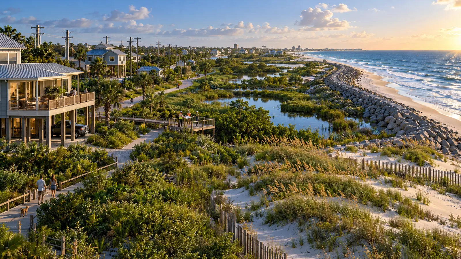
Seawalls, surge barriers, dunes, reefs and wetlands can reduce some hazards. Hard structures may reflect waves, shift erosion or create false confidence if maintenance fails. Nature-based measures need space and can be overwhelmed; their ecological and social benefits can still be substantial.
Accommodate
Buildings can be elevated, utilities moved, ground floors designed to flood safely and warning systems improved. Accommodation reduces damage but may not make repeated access failures or saltwater intrusion acceptable.
Avoid or relocate
New development can be kept out of future hazard zones. Existing households and infrastructure may be moved through voluntary buyouts or planned relocation. This option is emotionally and politically difficult, and it must protect tenants, cultural ties and livelihoods—not only property owners.
Maladaptation and unfair outcomes
An adaptation can reduce risk in one place while increasing it elsewhere. A seawall may redirect water toward an unprotected neighbour. Elevated luxury development can raise prices and displace long-term residents. Insurance withdrawal can leave low-income households with unsellable homes.
Fair planning asks who receives protection, who pays, who maintains it and what happens when a design limit is exceeded. Residents need understandable maps, meaningful choices and time to participate. Technical expertise cannot decide cultural values by itself.
Why coastal history is useful—but not sufficient
Residents often know which road floods first, where dunes were removed and how water moves through old drainage channels. Historical photographs, Indigenous knowledge, port logs and long tide-gauge records can reveal patterns that a short engineering survey misses. That experience should help frame what causes sea level rise at a particular shore.
History alone cannot define the future design level because the baseline and rate are changing. A house that remained dry through past storms may face a different combination of tide, rainfall and surge during its next mortgage. Old “one-in-one-hundred-year” labels are especially misleading when people interpret them as a promise that an event happens only once per century.
A good local assessment combines lived evidence with current elevation data, gauges, land-motion measurements and scenario projections. It also records uncertainty openly. Residents are more likely to trust a plan when they can see which observations shaped it and how decisions will be updated.
Maintenance is part of adaptation
A pump that lacks backup power, a wetland cut off from sediment or a seawall with an uninspected foundation is not reliable protection. Capital projects attract attention, but operating budgets, trained staff and routine testing often decide whether protection works during a storm.
Maintenance also changes over time. Salt corrodes equipment, higher groundwater can lift buried tanks and repeated shallow flooding damages electrical connections. Planning around what causes sea level rise means checking the hidden systems that water reaches before it overtops a visible barrier.
Why mitigation remains a coastal policy
Adaptation reduces local harm, but it cannot prevent the ocean from continuing to warm or land ice from losing mass. Higher warming increases the long-term commitment and makes protection, accommodation and relocation more difficult. Emissions decisions made far inland therefore affect coastal options.
This is the final practical layer of what causes sea level rise: causes and responses operate at different scales. Communities need funding and authority to adapt now, while national and global emissions cuts limit the amount of change they will eventually have to manage.
What households can do
- Check official local flood and evacuation information rather than relying only on a property listing.
- Learn whether maps include future sea level, rainfall, waves and land subsidence.
- Store important documents safely and plan transport for people who need assistance.
- Keep drains clear where it is safe and report repeated saltwater or sewage problems.
- Review insurance exclusions and renewal conditions in writing.
- Support long-term community planning before an emergency forces rushed decisions.
Household preparation cannot replace public drainage, safe housing and emissions cuts. It can reduce immediate harm while larger decisions move forward.
How to read a sea-level claim
Ask whether a number is global mean or local relative sea level. Check the baseline, time period and emissions scenario. Find out whether vertical land motion, tides, waves and storm surge are included. A map showing permanent inundation is not necessarily a map of every possible flood, and a flood map is not a guaranteed property-level prediction.
A careful answer to what causes sea level rise should also distinguish observed change from future projection. Measurements describe what has happened; scenarios explore what could happen under stated assumptions.
Frequently asked questions
Does melting sea ice raise sea level?
Its direct effect is very small because floating ice already displaces water. Melting land ice adds water and raises sea level directly.
Why is sea level falling in some places?
Land may be rising faster than the ocean, or regional currents and gravity may lower local water temporarily. That does not reverse the global trend.
Will every coast be underwater?
No. Elevation, land motion, protection, waves and future emissions differ. Risk ranges from more frequent nuisance flooding to permanent land loss.
Can seawalls solve the problem?
They can protect selected areas for a design range, but require maintenance and may shift erosion or flooding. They do not stop groundwater rise or every pathway of water.
Why do projections use ranges?
Future emissions are a social choice, and ocean and ice-sheet responses contain uncertainty. A range supports risk management better than false precision.
Does sea-level rise stop when emissions stop?
Not immediately. The deep ocean and ice sheets respond slowly. Reaching net-zero carbon dioxide can stabilize global temperature, but sea level can continue adjusting for a long time.
Conclusion
The global answer to what causes sea level rise is dominated by ocean warming and loss of land ice. The local answer adds land movement, currents, tides, waves and human changes to groundwater and sediment.
That combination is not a reason to wait for perfect certainty. It is a reason to use local observations, plan across scenarios and choose measures that can change as conditions do. Cutting emissions limits the long-term rise; fair adaptation protects people from the rise already underway.
Transparency
Sources & references
Editorially reviewed
Editorial information
SOAKJAM articles are designed for clarity, useful context and transparent sourcing. Important facts should be checked against the linked primary sources.
Found an error, outdated detail or a useful source we should consider?